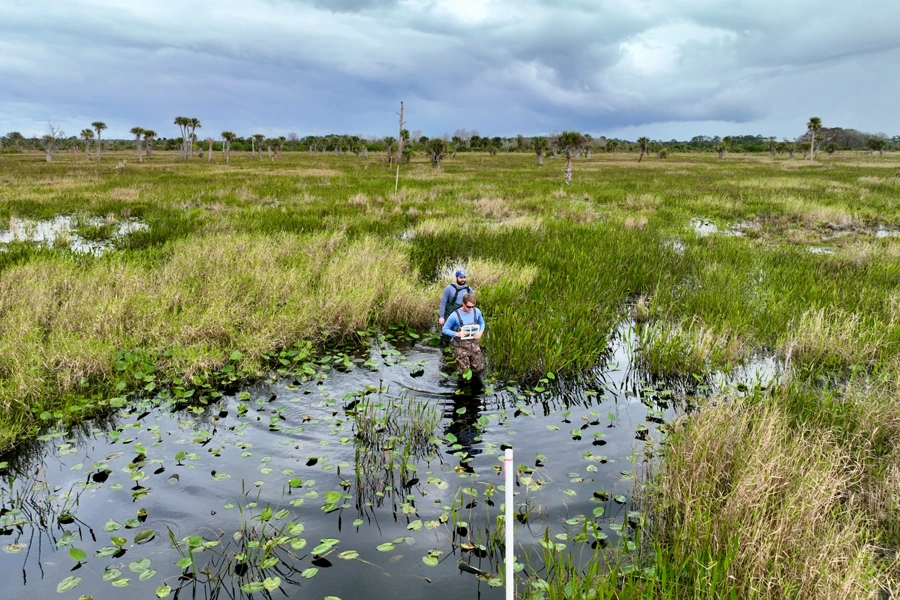
GIS is a computer-based tool designed to allow for the analysis, interpretation, and understanding of geographical and environmental data which can then be displayed in a map. Atlantic Environmental has an extensive library of data which is incorporated into our GIS that includes soils, topographical information, historical aerial imagery, wildlife usage, and land use. The utilization of GIS allows for a more comprehensive and time efficient method for gathering environmental information on subject properties prior to field verification.